
Property Survey Before Combining Adjacent Commercial Parcels
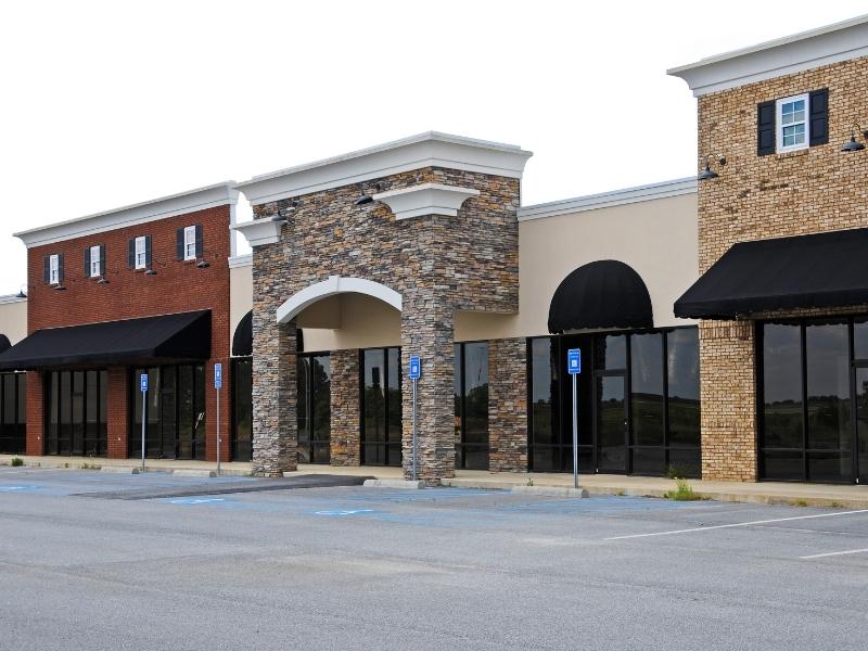
You own two lots side by side. On paper, joining them into one commercial site looks easy. The reality is often messier. Two parcels mean two legal descriptions, two sets of corners, and two histories that may not agree. A property survey sorts all of that out before you combine them. Skip it, and you can inherit a boundary gap, a hidden easement, or a building that sits over a line you did not know existed.
A Property Survey of Each Parcel Before Combination
A property survey measures and maps the real boundaries of a piece of land. Before you merge two commercial parcels, each one needs to be understood on its own. That means reading the legal description and locating the actual corners in the field.
A legal description is the written definition of a parcel in the public record. It uses distances, directions, and reference points to describe the land. Two adjoining parcels can have descriptions written years apart by different surveyors. Those descriptions do not always line up cleanly at the shared line.
The survey checks whether each parcel matches its record. It confirms the size, shape, and corners of both lots. This step catches problems while they are still easy to fix. Finding a gap or overlap before the merger is far cheaper than finding it after.
In Mobile, many commercial parcels sit on older subdivided land near downtown and the port. Records for these lots can be decades old. A fresh property survey brings both parcels into a clear, current picture before you join them.
Shared Boundary Lines Between Adjacent Properties
The shared line between your two parcels is the most important part of this survey. This is the common boundary that will disappear once the lots combine. Before it does, you need to know exactly where it runs.
Corners tell the story. A surveyor locates the corner markers for both parcels along the shared line. Ideally, the corners for one lot match the corners for the next. Sometimes they do not. That mismatch signals a problem worth solving before the merger.
Two common issues show up at shared lines:
- A gap, where a thin strip of land seems to belong to neither parcel
- An overlap, where both descriptions claim the same ground
Either one can cloud your title after you combine the lots. A property survey brings these to light so they can be corrected in the record. Fixing a gap or overlap usually means updating the descriptions with help from a surveyor and an attorney.
Getting the shared line right protects the whole deal. Once the parcels merge, that line becomes part of your interior site. You do not want an unresolved question sitting under your new building or parking lot.
Easements and Restrictions That May Survive the Merger
Combining parcels does not erase the rights recorded against them. An easement is a recorded right for someone else to use part of your land for a set purpose. These rights often survive a merger and keep affecting the property afterward.
A property survey maps the recorded easements on both parcels. Common types on commercial land include:
- Utility easements for power, water, sewer, or gas
- Access easements that let others cross the property
- Drainage easements that carry stormwater across the site
Drainage easements matter a lot in Mobile. The area sees heavy rain and sits low near the bay, so stormwater rights are common. An easement running across both parcels can limit where you place a new building. Knowing its location early helps you design around it.
Restrictions can also carry over. A restriction limits how the land may be used or built on, based on a recorded document. Setback rules, use limits, and old covenants may still apply after the merger. The survey shows where these lines fall so your plans respect them. Rights and restrictions can vary by parcel, lender, and municipality, so confirm which ones apply before you build.
Existing Improvements Across the Proposed New Site
Improvements are the structures already on the land. Buildings, parking, driveways, signs, and utilities all count. On two commercial parcels, these improvements were built to fit the old boundaries. Combining the lots can change how they relate to the property.
A property survey locates every major improvement and shows it against the parcel lines. This reveals a few things you need to know. A building may sit close to or across the shared line. A parking lot may cross from one parcel onto the other. A utility line may run under both.
Encroachments are a key concern here. An encroachment is a structure that crosses a boundary it should not. If a building from one parcel already sits over the shared line, that matters for lenders and title. Combining the lots may resolve some encroachments and expose others along the outer edges.
The survey also helps your planning. Once you see where every building, drive, and pipe sits, you can plan additions or changes with confidence. You will know which improvements fit the new site and which may need attention. This picture is hard to get any other way.
Survey Information for the New Combined Parcel
After the review comes the payoff. A property survey supports the paperwork that turns two parcels into one. Combining lots usually requires a new legal description and updated mapping, and the survey provides the measurements behind them.
The surveyor prepares an accurate description of the outer boundary of the merged property. This new description defines the single parcel you are creating. It replaces the two older descriptions with one clean version tied to real corners.
The survey also produces a current map of the combined site. This drawing shows the new boundary, the easements, and the improvements together. Lenders, attorneys, and local offices often want this map when they process a combination. Requirements can vary by county, title company, and project, so check what your team needs early.
Timing matters on commercial projects. If your closing, financing, or permitting depends on the merged parcel, start the survey early. A combination can take time to record, and waiting on survey data can stall the whole plan. Bring in a surveyor at the front of the process so the documents are ready when you need them.
Frequently Asked Questions
Why do I need a property survey if I already own both parcels?
Owning both lots does not mean you know exactly where the boundaries and easements sit. Records can be old or unclear, and improvements may cross lines. A property survey confirms the real conditions before you merge. It also supplies the description and map the combination usually requires.
Will combining parcels remove the easements on my land?
Usually not. Recorded easements often survive a merger and keep affecting the property. A property survey shows where they run so you can plan around them. To change or remove an easement, you typically work with the holder and an attorney, not just the merger.
Do I need a separate legal description after combining lots?
Yes, in most cases. Two parcels have two descriptions, and the combined property needs one that defines the new outer boundary. A surveyor prepares this updated description from field measurements. Your attorney and local office use it to record the combination. Requirements can vary by county and project.
How long does the survey part of a parcel combination take?
It depends on the size of the parcels, record quality, and field conditions. Older commercial lots with unclear records may take longer to research. A surveyor can give you a timeline once they review your parcels. Start early so survey work does not delay your closing or permits.
Can a property survey find problems that stop the combination?
It can reveal issues you need to resolve first, like gaps, overlaps, or encroachments. Finding them early is a good thing. It gives you time to correct descriptions or address a boundary conflict before you record the merger. That is far easier than fixing it afterward.