
Boundary Survey Price: 7 Factors That Can Raise or Lower Your Cost
A boundary survey can cost $500. It can also cost $5,000. Same general service, very different numbers. If you’re a developer planning a project, that gap matters before you finalize your budget.
Seven factors control most of that price variation. Some you can predict early. Some catch people off guard. All of them are worth knowing before you call a surveyor.
What Is a Boundary Survey?
A boundary survey marks the legal edges of a property. It shows exactly where your land starts and stops. Surveyors use old deeds, recorded maps and field measurements to pin that down on paper.
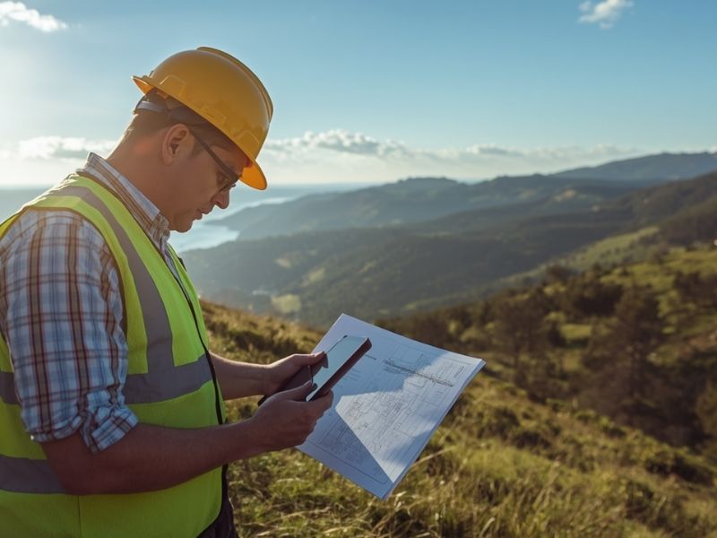
For developers, it’s often the first required step before permits, financing or construction can move forward. You can’t build confidently if you’re guessing where the line sits.
7 Factors That Affect Boundary Survey Cost
1. Property Size
Bigger lots take more time to measure. More time means higher fees.
A small urban lot under half an acre might run $500 to $1,000. A multi-acre rural parcel can push well past $2,500. Some surveyors price by the acre. Others charge a flat rate plus hourly field time. Ask upfront how they structure their fees so there are no surprises.
2. Property Shape and Complexity
A square lot is simple. A lot with 20 corners, curved boundary lines and odd angles is not.
Every corner must be found or set. Irregular shapes add corners. More corners add cost. If your parcel has a creek running through it, a road cut-through or an easement crossing the land, the price goes up. Plan for it.
3. Location and Site Access
Remote properties cost more to survey. Getting equipment and a crew to a rural site takes time. That time is billable.
Rough terrain, dense woods, steep slopes and wet ground slow fieldwork down considerably. A lot that takes two hours to walk on flat open ground might take six hours in thick brush.
Urban properties bring their own problems. Existing structures, fences and neighboring improvements can block sight lines and make measurements harder to take.
4. Title and Record Research
Before a surveyor sets foot on your property, they search records. Old deeds, plat maps, county records and historical documents all go into the research phase.
Some properties have clean records going back decades. Others have gaps, conflicting descriptions or chain-of-title problems. The messier the paper trail, the longer the research takes. Properties that were split, merged or re-described multiple times are especially time-consuming.
5. Existing Monuments and Markers
Surveyors look for iron pins, concrete markers and other physical evidence of old boundary corners. If those markers are in place and match the records, the job moves faster.
If the monuments are missing, buried or destroyed, the surveyor has to reconstruct the boundary from other evidence. That reconstruction takes time and adds to the bill. Older properties, especially in rural areas, often have missing markers. Budget for extra work if your site hasn’t been surveyed in years.
6. Disputed or Contested Boundaries
When a neighbor disagrees about where the line sits, costs climb fast.
Disputed boundaries mean more research, possibly more fieldwork and sometimes expert testimony. If the dispute ends up in court, the surveyor may need to appear as a witness. That adds fees well beyond a standard survey.
Catch disputes early. Talk to adjacent property owners before you start. Look for fences, encroachments or structures sitting close to where the boundary line should be.
7. Turnaround Time
Standard surveys take two to four weeks from hire date to final report. Rush jobs cost more.
If you need a survey done quickly before a closing date or permit deadline, expect a premium. Some surveyors charge 25% to 50% more for expedited work. Others simply won’t take rush orders. Build your project timeline with enough buffer so you’re not paying for speed.
What’s Usually Included in the Price?
Most boundary survey quotes cover:
- Field measurements and corner setting
- Title and deed research
- Preparation of a plat or survey map
- Surveyor’s signed certification
What’s often not included: legal fees if the boundary is disputed, county recording fees, or staking for construction layout. Ask your surveyor to itemize the quote before signing anything.
How to Get an Accurate Quote
Call at least three licensed surveyors. Give each the same information:
- Parcel ID or legal description
- Approximate acreage
- What you need the survey for (permits, financing, development)
- Your preferred timeline
A reliable surveyor will review the records before quoting. Be cautious of anyone who gives a firm price without first looking at the property history.
Frequently Asked Questions
How much does a boundary survey cost on average?
Most residential boundary surveys run between $500 and $2,500. Larger or more complex properties cost more. Get quotes from at least three licensed local surveyors to find a realistic number for your specific parcel.
How long does a boundary survey take?
Typically two to four weeks from hire to final map. Fieldwork is often done in one to two days. Most of the time is spent on research and drafting the final certified document.
Do I need a boundary survey before I build?
Most jurisdictions require one before issuing building permits. Even where it’s not required, it’s the right call. Building on the wrong side of a property line is a costly mistake to fix.
Can I use an old survey instead of getting a new one?
Sometimes. Lenders, title companies and local governments often have rules about survey age. Check with your permitting office and your lender before assuming an older survey will satisfy their requirements.
What’s the difference between a boundary survey and a topographic survey?
A boundary survey marks the legal edges of the property. A topographic survey maps the land’s physical features such as slopes, drainage, trees and structures. Developers often need both. They’re priced separately.