A land survey for fence projects helps homeowners find the correct property line before building. In older neighborhoods, lot lines are often unclear. Property records may be outdated. Corner markers may be gone. Without a confirmed boundary, placing a fence in the wrong spot is easy to do and expensive to fix.
Why Fence Lines Are Hard to Confirm in Older Neighborhoods
Older neighborhoods were built before digital maps and GPS. Many property records were drawn by hand. Some deed descriptions reference things that no longer exist, like an old stone wall or a tree that was cut down years ago. When those reference points are gone, the written boundary becomes hard to follow.
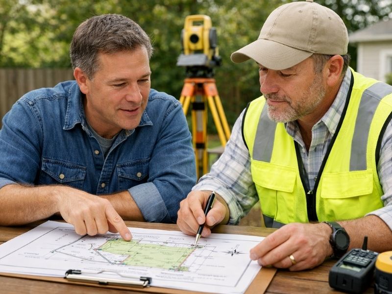
Deed language in older records can also be confusing. Phrases like “thence along the line of the adjoining owner” made sense when first written. Decades later, they’re hard to interpret without professional training. A licensed surveyor can read those descriptions and match them to measurable points on the ground. That’s what turns an old written record into a usable boundary line.
How a Land Survey for Fence Projects Confirms the Correct Boundary
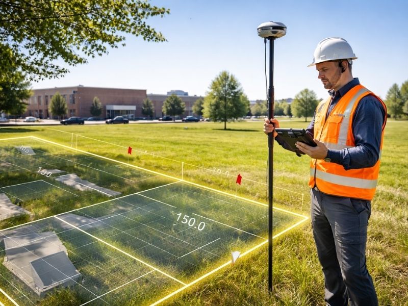
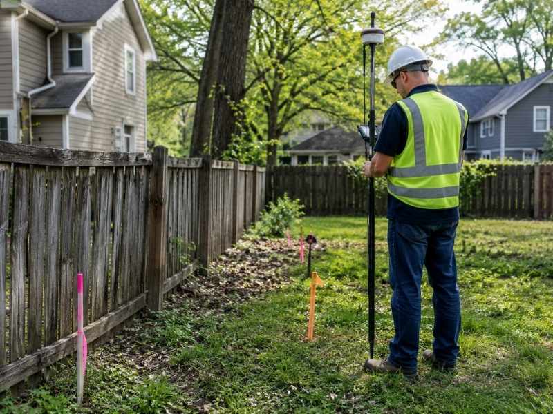
A boundary survey uses recorded deeds, plat maps, and field measurements to find the legal corners of a property. The surveyor sets or confirms physical markers at each corner. They also produce a written report showing exactly where the lot begins and ends.
For fence planning, that result is concrete and reliable. The National Society of Professional Surveyors reports that encroachments appear in roughly 20% of boundary surveys on improved residential lots. Most homeowners didn’t know the problem existed before the survey. That number makes pre-construction surveying a smart step, especially on older properties where conditions have had decades to shift.
When Recorded Plats and Field Conditions Don’t Match
What the plat shows and what’s on the ground don’t always line up. Older lot dimensions were sometimes recorded with small errors. Reference points used during the original survey may have been disturbed or removed over time.
These gaps don’t always look like problems. A fence placed by eye can seem perfectly reasonable and still end up in the wrong spot. The surveyor’s job is to compare the recorded description with current field conditions. They document where any differences exist. That process is what makes the survey result legally reliable, not just a close estimate.
How Structures Near the Property Line Affect Fence Planning
Sheds, driveways, retaining walls, and large trees near the property edge all make fence planning harder when the boundary isn’t confirmed. A shed placed years ago without a survey might already sit past the legal line. A tree near the edge may straddle the boundary, which creates questions about ownership and upkeep. A driveway running along the edge of the lot can limit where a fence can physically go.
Without a confirmed boundary, there’s no reliable starting point for any of these decisions. A survey gives a precise location for the line. After that, decisions about fence placement and anything near the edge are based on real information, not guesswork.
Why Sharing Survey Results With Neighbors Helps
Many boundary questions in older neighborhoods come from assumptions passed down over years. One neighbor may think the line follows the old hedge. Another may assume it matches the fence that’s been there for decades. Neither assumption comes from a licensed survey.
Bringing a survey plan to that conversation changes things. A licensed survey carries legal weight that a verbal history or an old fence doesn’t. When both neighbors have the same documented information, it’s much easier to agree on where the fence should go. The survey doesn’t start disputes. It gives both sides the facts needed to avoid them.
Frequently Asked Questions
What makes lot lines hard to confirm in older neighborhoods?
Older deed descriptions often reference landmarks that no longer exist. Without those reference points, the written boundary is hard to interpret without field measurements from a licensed surveyor.
Can a land survey for fence projects confirm the exact property line?
Yes. A boundary survey uses recorded plat data and field measurements to locate the legal corners of a property. The result is a certified, documented boundary location.
Do recorded plat maps always match what’s on the ground?
Not always. Older plants sometimes have small recording errors or reference points that have been disturbed. A surveyor compares the recorded description with current field conditions and notes any differences.
How do structures near the property line affect fence planning?
Sheds, driveways, trees, and retaining walls near the boundary can limit where a fence can go. A survey confirms where the line falls in relation to those features, so placement decisions are based on accurate information.
What happens if a neighbor disagrees about where the property line is?
A licensed survey plat documents the boundary based on recorded deeds and field measurements. That gives both parties a factual, legally recognized reference point for resolving the disagreement.